
Research
I study where, how often, and how big earthquakes are — and what controls where their ruptures stop.
My research spans the full chain from field evidence to hazard model: LiDAR mapping, paleoseismic trenching, dating past earthquakes, estimating fault slip rates, and building the rupture and fault-source models used in seismic hazard assessment.
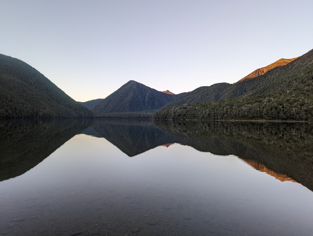
The northern Alpine Fault, Aotearoa New Zealand
My PhD (University of Melbourne, with Earth Sciences New Zealand, formerly GNS Science) focuses on the fault’s northern section, where it connects with the Marlborough Fault System — and where the next rupture may stop, or may not.
JGR: Solid Earth · 2025
Structural maturity and rupture morphology
High-resolution LiDAR mapping of the fault from the Kelly Fault to the Wairau, classifying principal and distributed fault traces to build a baseline against which the next rupture will be measured.
Geomorphology · 2025 · Co-author
A paleoseismic record at Marble Hill
A multi-event paleoseismic record from the northern Alpine Fault at Marble Hill (Langridge et al., 2025).
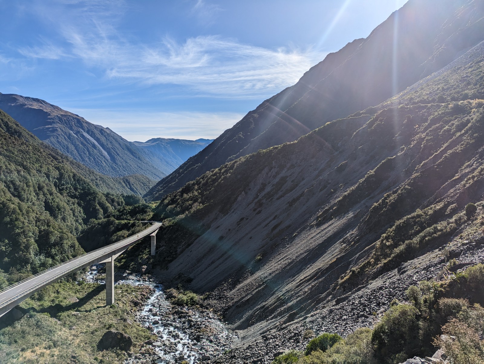
Fieldwork in the South Island, Aotearoa New Zealand
Earthquakes in Australia
Australia’s earthquakes are rare but real.
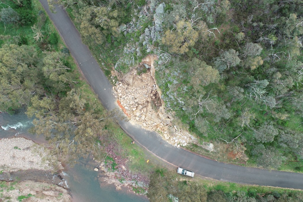
Earthquake Spectra · 2024
The 2021 Mw 5.9 Woods Point earthquake
I led the field reconnaissance of the largest earthquake in Victoria’s recorded history within days of the mainshock. That work grew into reports on environmental and infrastructure damage and a Bayesian test of ground motion models using chimney fragility curves.
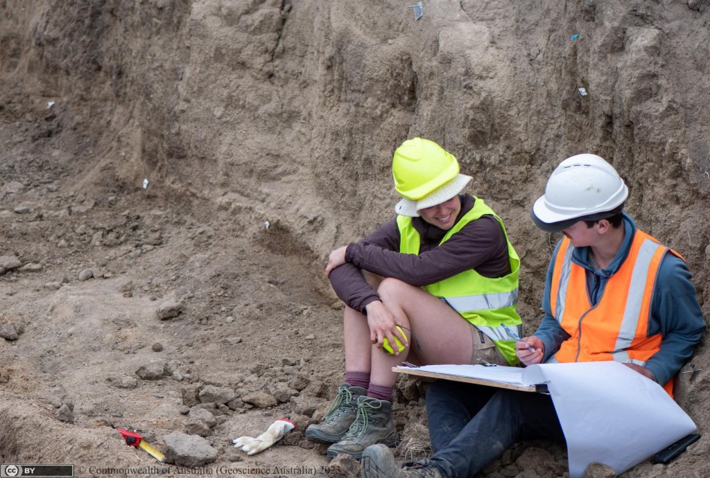
Conference papers · 2022–2024
Paleoseismology and fault studies
Large-earthquake recurrence on the Willunga Fault (South Australia) and in the Snowy Monaro region (New South Wales), neotectonic faulting on the north-eastern Eyre Peninsula, and seismic hazard from the Beechworth and Culcairn faults near Albury–Wodonga.
Geoscience Australia · 2025–2026
National seismic hazard
I worked part-time on fault source models for the National Seismic Hazard Assessment, and helped review probabilistic seismic hazard assessment (PSHA) projects according to International Atomic Energy Agency (IAEA) guidelines. I also started a project mapping active fault sources in Gippsland.
Field response · 2026
Earthquake response
I led the field response to the March 2026 Mw 5.5 Amata earthquake in central Australia, and installed temporary seismometers for the aftershock deployment after the October 2026 M4.8 Arawata earthquake in South Gippsland.
Software and tools
Scalculator
Python library and graphical interface for earthquake scaling relationships (e.g. Leonard, 2014), converting between magnitude and rupture length, area and displacement.
Swath Profile for ArcGIS Pro
Swath profiles across faults with min/max/mean/percentile envelopes, HI and THi, and an interactive chart linked to the map; a port of Pérez-Peña et al. (2017).
ESPG website
I designed and built the Earth Sciences Postgraduate Group’s website and content management system (Astro, GitHub Actions, Decap CMS, Cloudflare Workers).
Day to day: Python, OpenQuake, ArcGIS Pro, QGIS, Agisoft Metashape, Leapfrog, drone photogrammetry, MASW.
Publications and talks
The full list of my papers, conference abstracts and reports.

